
The coast, collected
False Point Tide Pools & San Diego Tidepool Guide
False Point tide pools are one starting point for a closer look at San Diego’s rocky shoreline. The appeal is not a single animal you are guaranteed to find. It is the chance to notice how much life fits into a small, changing space: a wet ledge, a shaded crevice or a pool that the sea will cover again.
This collection is about choosing a place, understanding the tide and looking without disturbing what lives there. Use the map to compare locations, then read the individual guide for official access information. A low predicted tide is useful planning context, not a promise that conditions will be calm. Swell, slippery rock and incoming water still matter. Leave yourself an easy way back and keep watching the ocean.
Bring patience rather than a collecting bucket. Keep animals where you find them, avoid stepping on living surfaces and follow posted rules, including any protected-area restrictions. If access is closed or the surf makes the shoreline uncomfortable, enjoy the view from a safer place. There will be another tide, and the tiny landscape is worth leaving intact.
Oceanside to the South Bay. Select a pin to open a guide.
Map data © OpenStreetMap contributors.
The field notes
8 guides · newest updates first
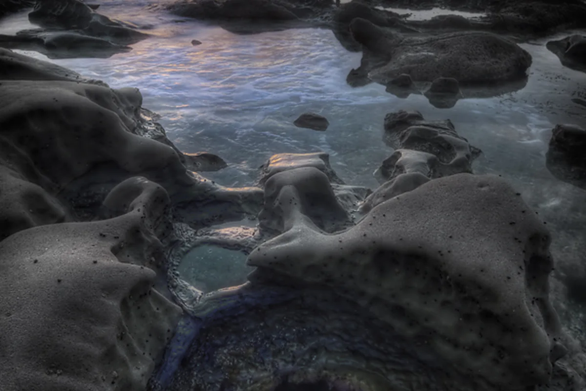
Tidal Pools Near Me: 10 San Diego Coast Spots to Compare
Compare ten San Diego tide-pool stops by area, access and conditions, then choose a daylight low tide and leave the marine habitat undisturbed.
Open the guide →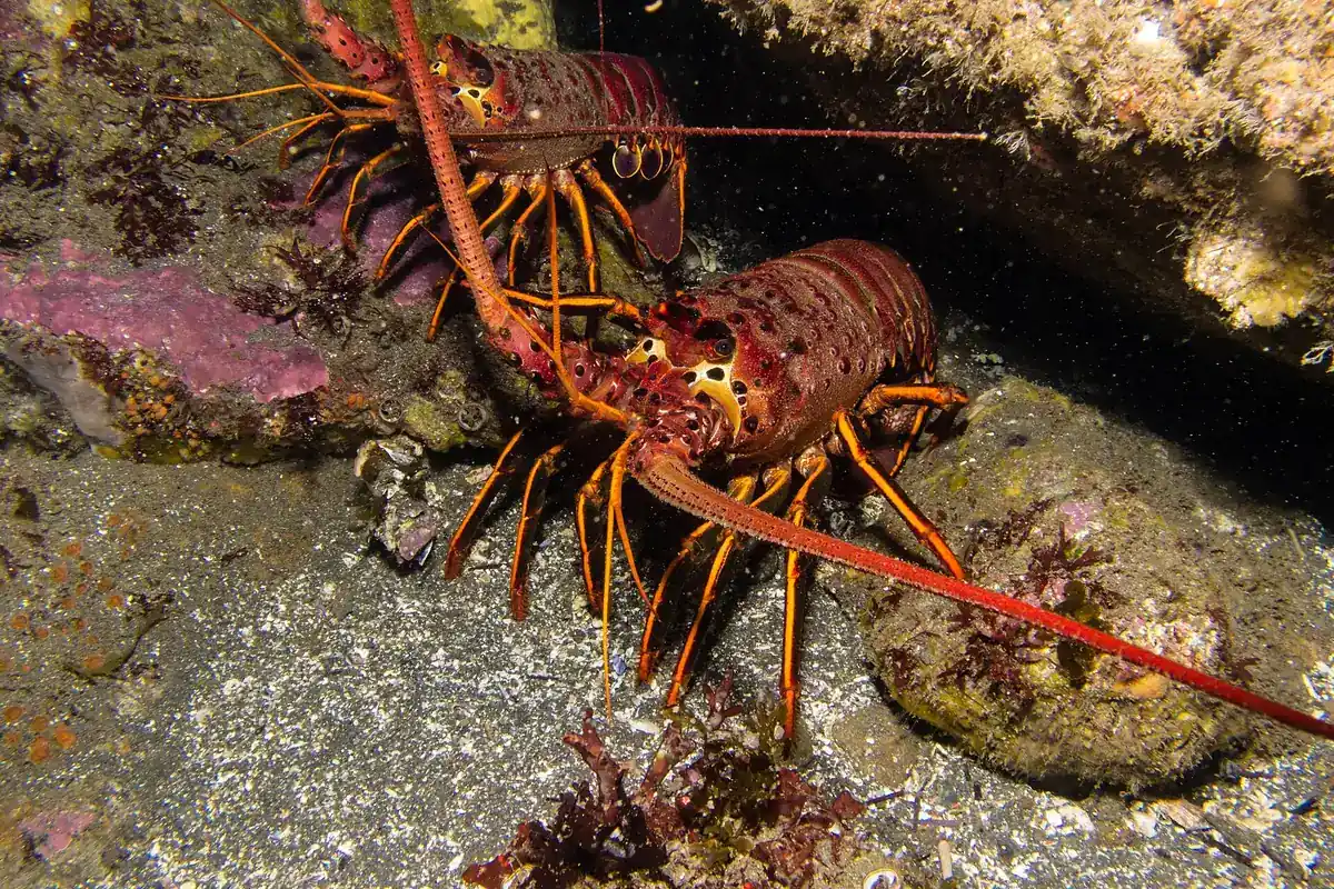
San Diego Spiny Lobster: Wildlife and Fishing Basics
A species-and-regulations primer, not a list of secret fishing spots or a substitute for current CDFW rules.
Open the guide →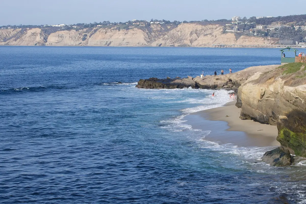
San Diego Tide Chart: NOAA Predictions Explained
Read tide times and heights with the correct station, date and settings. Then check surf and local access before committing to a shoreline route.
Open the guide →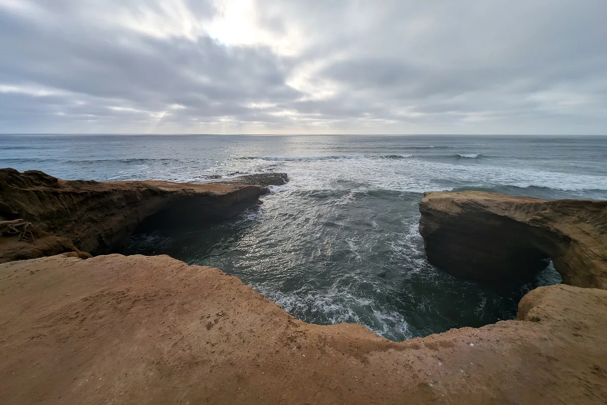
Garbage Beach San Diego: Sunset Cliffs Tides and Safety
A safety-first look at the Sunset Cliffs shoreline, separating king-tide viewing from low-tide exploring.
Open the guide →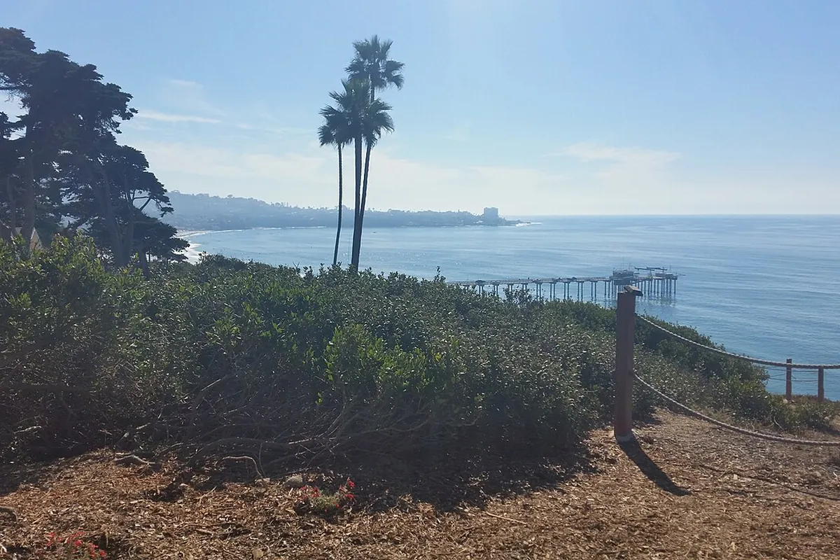
San Diego La Jolla Ecological Reserve: Names, Rules and Visits
The familiar reserve name covers a coast with distinct protected-area designations. Check the exact boundary and rules before any collecting or fishing.
Open the guide →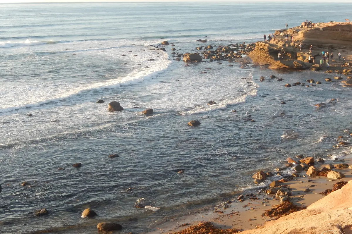
Cabrillo Tide Pools: Low Tide, Access and Visitor Guide
Plan a Cabrillo tide pools visit around low tide and park access. Learn what to wear, how to protect marine life and where to check conditions.
Open the guide →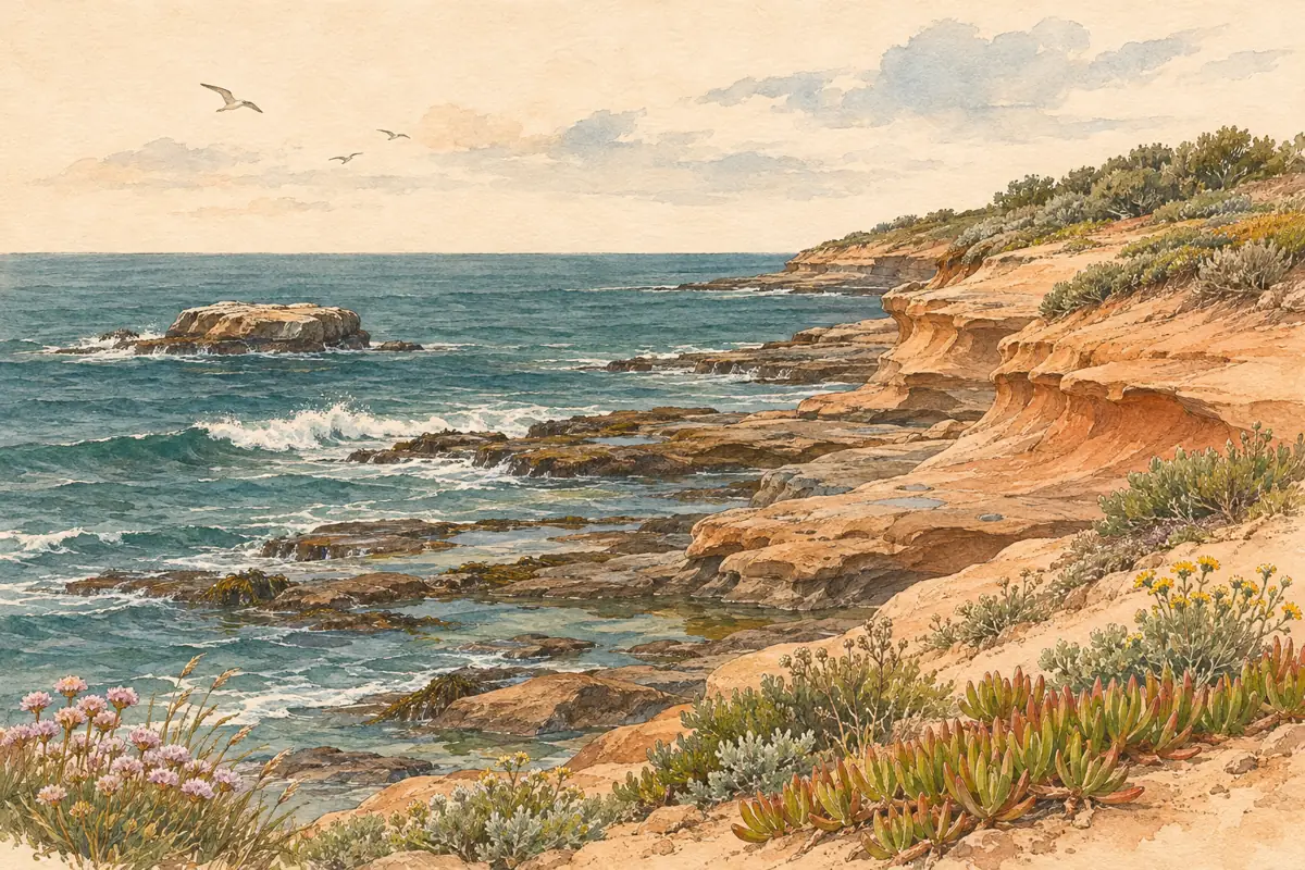
Bird Rock Beach San Diego: Rocky Shores, Views and Access
Bird Rock is a rocky La Jolla shoreline, not a broad swimming beach. Match your visit to the tide, surf and available public access.
Open the guide →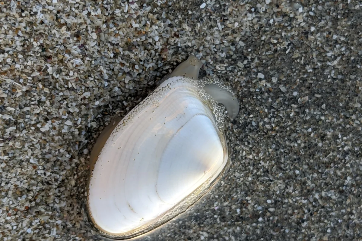
Clams in San Diego: Bean Clams, Identification and Rules
Watching small clams in the wash is different from harvesting them. Know the species and check both legal and health restrictions before collecting.
Open the guide →