A San Diego tide chart is useful only when you know its station, date, time zone and height reference. NOAA provides predictions for both San Diego station 9410170 and La Jolla station 9410230. They are different locations, and a tide prediction is not a forecast of every wave that will reach a beach. Use the chart to plan a window, then check current surf, weather, closures and the actual shoreline before deciding to proceed.
Choose the NOAA station deliberately
For a bay-centered outing, begin with NOAA San Diego tide predictions. For the La Jolla coast, compare NOAA La Jolla predictions. Read the station name and identifier at the top of the page instead of assuming every result labeled San Diego is the same data.
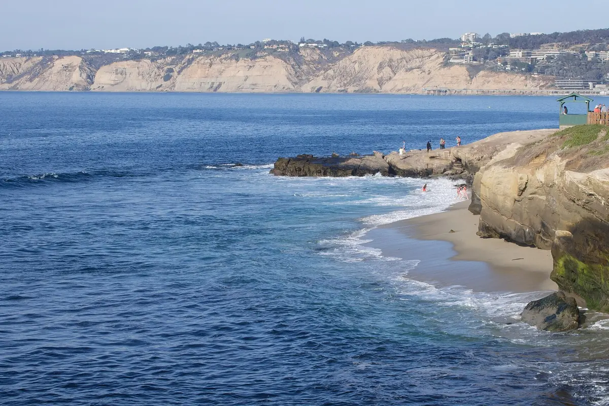
Neither station makes a local hazard assessment for a specific cove or cliff-base route. Conditions vary along the coast, and a beach's shape affects how water limits access. For navigation, use the appropriate official marine resources and qualified judgment; this visitor explainer is not a substitute for nautical planning.
Set the date and local time
Confirm the date range before reading any time from a chart. Search results can display an old cached day or a future date embedded in a URL. On NOAA's page, choose the dates you actually need and check whether the display uses GMT, local standard time or local time adjusted for daylight saving.
The LST/LDT setting follows the local standard/daylight time convention. A printed time without its time-zone setting can be misleading, especially near seasonal clock changes. If you save or share a screenshot, keep the station, date and settings visible so another person can interpret it correctly.
Read high and low events
The high/low display lists predicted turning points, with a time and height for each event. Do not assume every day has one simple high and one simple low of equal size. Read the complete sequence for the period you will be out, including the tide after your planned return time.
For a shoreline walk, the most useful question is often whether the water is rising during the return, not simply when the lowest point occurs. Build in a conservative turnaround. A schedule that requires reaching the last dry passage at exactly the predicted low leaves no room for slow walking, photographs or larger waves.
What MLLW means
NOAA charts commonly show heights relative to MLLW, mean lower low water. It is a defined reference level, not the depth of water at every location. A negative predicted tide means the water level is below that reference; it does not mean the coast is dry or that submerged hazards have disappeared.
Check units as well. Feet and meters can produce very different impressions if read casually. When comparing a guide's suggested tide window with NOAA, make sure both use the same datum and units. Avoid passing along a number without those settings.
Predictions and observed water levels are different
Astronomical tide predictions describe the expected tidal pattern. Actual water levels can differ because of weather and other ocean conditions. Breaking waves, swell and run-up add another layer of risk at the shore. A low predicted tide can coincide with powerful surf that makes tide-pool access unsuitable.
That is why a tide chart should not be used as a safety clearance. Check the relevant marine forecast, local notices and lifeguard advice where available. At the beach, observe several sets before approaching exposed rocks. If conditions contradict your plan, change the plan rather than trying to prove the chart right.
Using the chart for tide pools
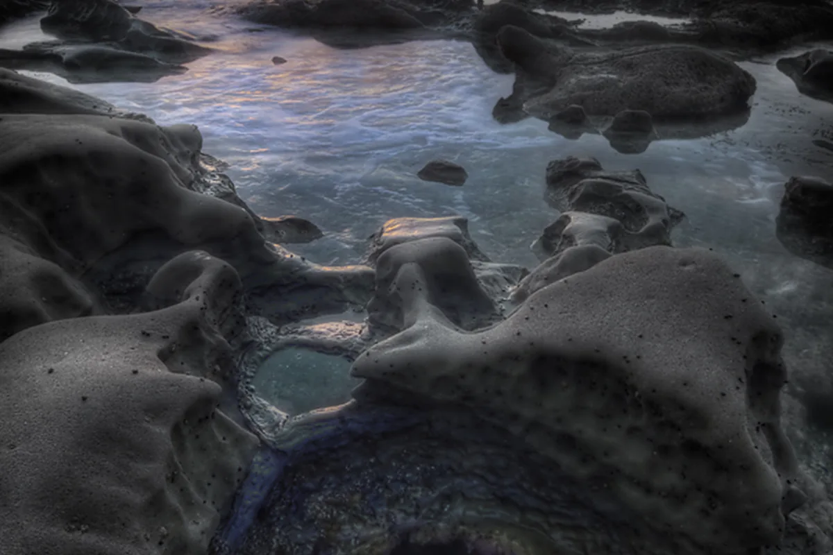
Select a daylight window with a manageable route and a clear exit. Wear footwear appropriate to wet, uneven ground and keep away from cliff bases. Do not pursue an animal or a photograph onto a platform being washed by waves. The tide-pool guide explains low-impact observation once access is suitable.
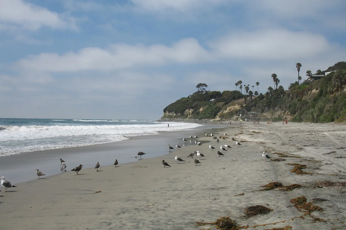
At Swami's and other rocky shores, protected-area rules apply regardless of tide height. Low water reveals habitat; it does not create permission to collect its animals, rocks or shells. Leave everything in place and retreat before the return route becomes uncertain.
King tides and dramatic water
King tide is a popular term for especially high tides, not a promise of a safe sightseeing event. High water can reach roads, paths and cliff bases that are normally dry. Watch from a lawful, protected viewpoint and obey any closure. Do not approach a flooded edge to demonstrate the height in a photograph.
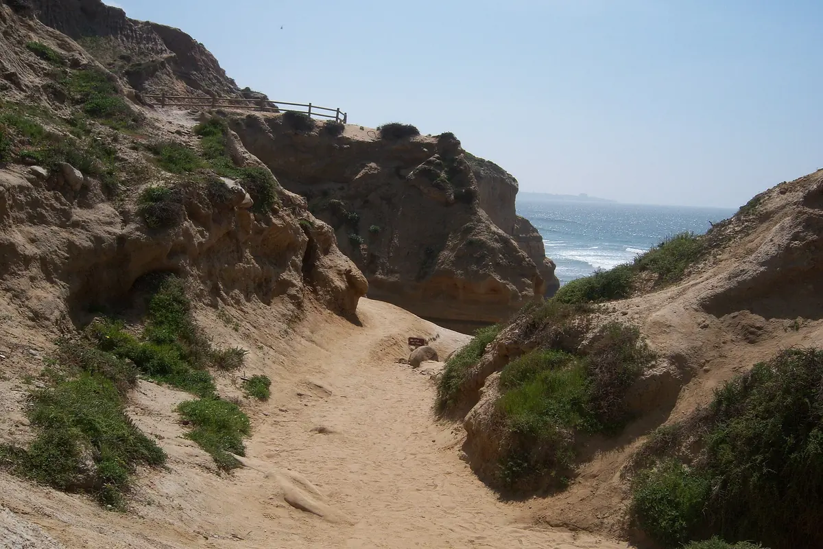
For Torrey Pines Beach Trail, check trail and staircase status separately from the tide. A favorable ocean prediction cannot reopen a closed route. The dependable habit is always the same: verify the data settings, check local conditions, and keep a clear way back.
Sources & further reading
Official information and references for this guide. Check the source for current access, rules and conditions.