
Field guide index
Beach Trail
Explore beach trail through our San Diego field notes. Find practical guides, coastal context and links to the official information you need before heading out.
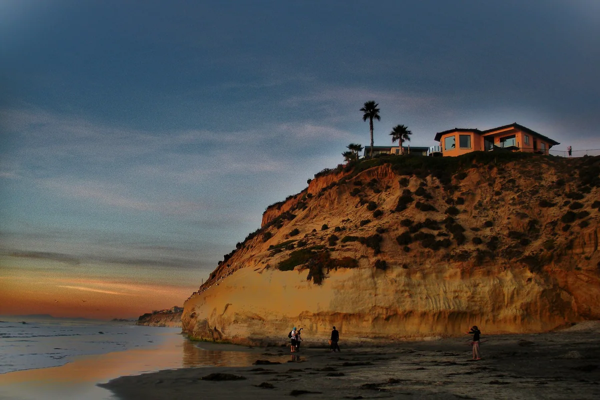
Seascape Sur Beach: Walking Solana Beach’s Shoreline
A practical guide to Seascape Surf, often searched as Seascape Sur, and the neighboring Solana Beach accesses.
Open the guide →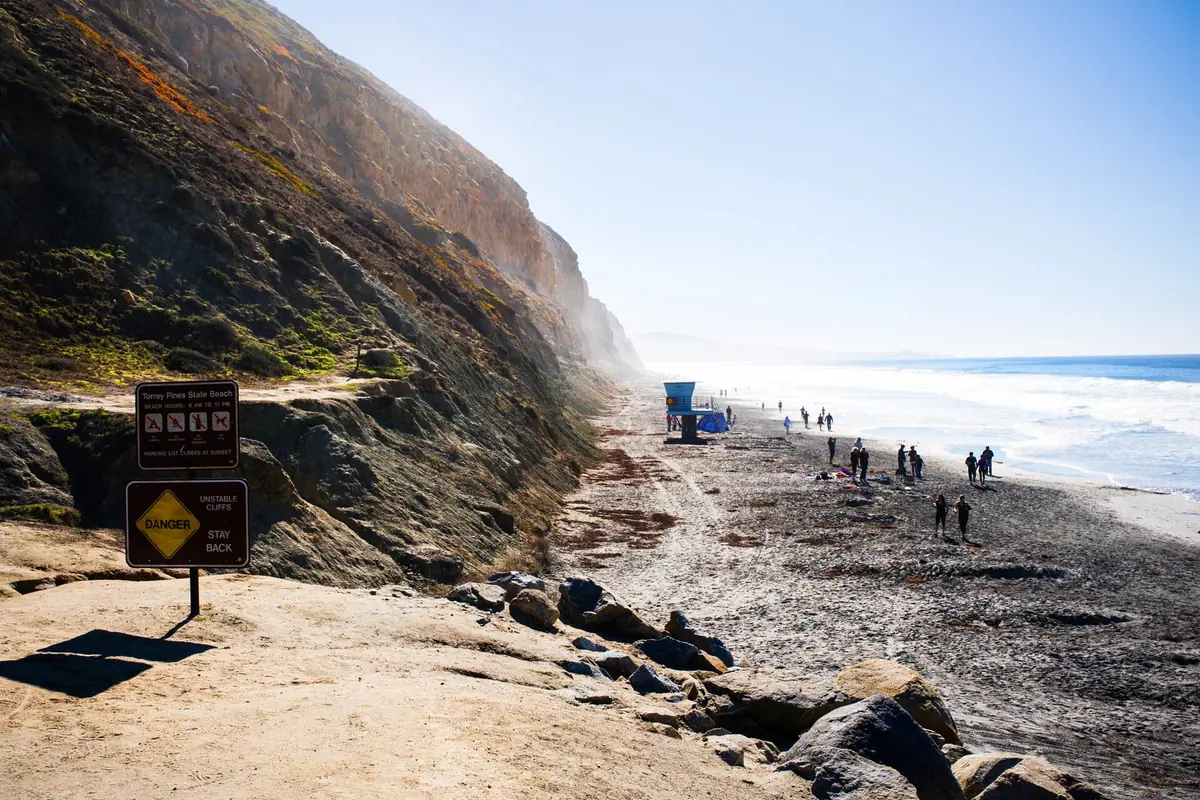
Torrey Pines Beach: State Beach, Cliffs and Flat Rock
A practical guide to the sand below Torrey Pines, with the differences between the beach, reserve and Black’s Beach explained.
Open the guide →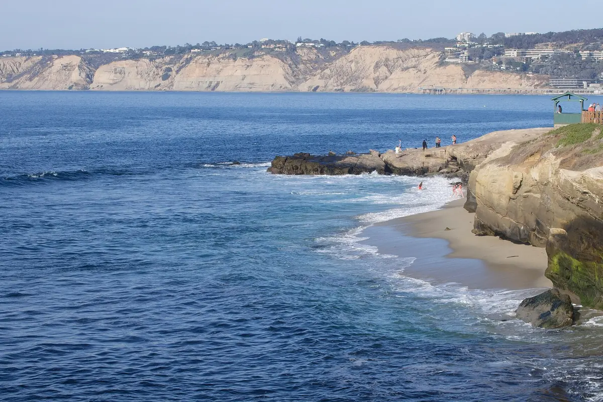
San Diego Tide Chart: NOAA Predictions Explained
Read tide times and heights with the correct station, date and settings. Then check surf and local access before committing to a shoreline route.
Open the guide →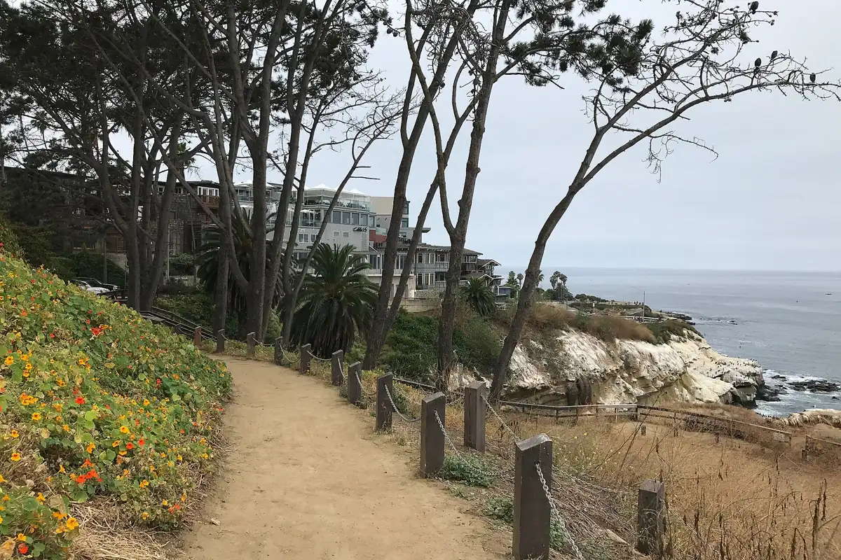
La Jolla Coast Walk Trail: Access, Views and Safety
A short bluff-top route links the Cave Store area with Coast Walk near Torrey Pines Road. Come for ocean views, not beach access.
Open the guide →
San Onofre Bluffs Trail 1: Closures, Maps and Beach Safety
The latest State Parks notice limits access south of the Trail 1 parking lot. Do not use older hike descriptions as evidence that the southern bluffs are open.
Open the guide →
Trestle Beach California: A Guide to Trestles Beach Trail
Find Trestles Beach near San Clemente, compare trail access and parking, and plan a careful walk to this San Onofre surf coast.
Open the guide →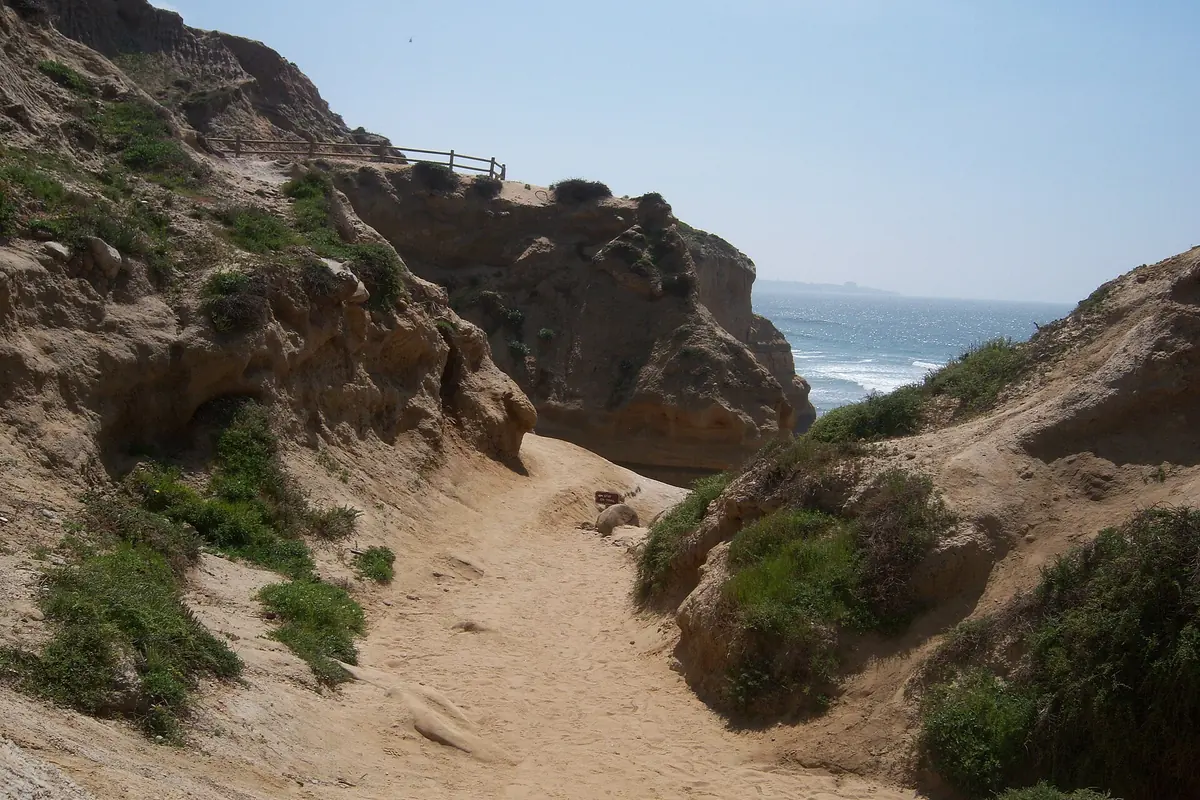
Beach Trail Torrey Pines: Reserve Walk and Access Guide
Beach Trail links the reserve landscape with the shore, but closures and ocean conditions can prevent the usual route. Check before traveling.
Open the guide →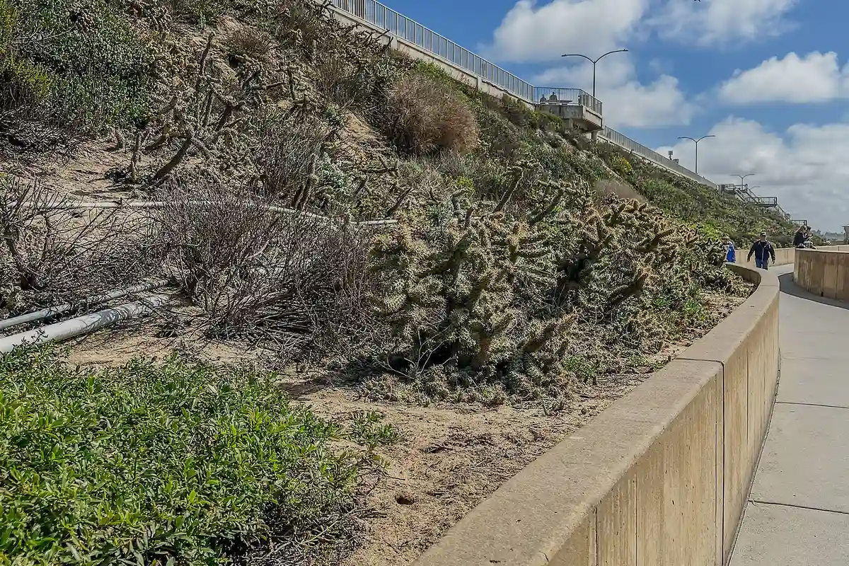
Carlsbad Sea Wall Trail: Upper and Lower Walks
An easy-to-plan oceanfront walk, with one important detail: Carlsbad's upper and lower seawall paths have different dog rules.
Open the guide →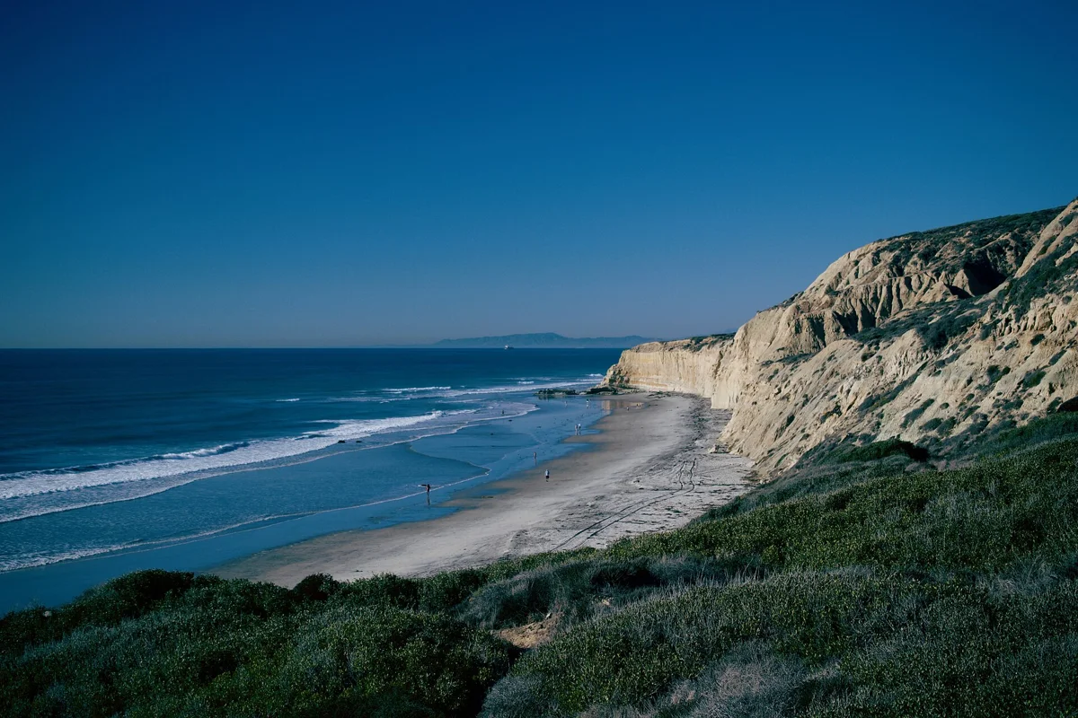
Blacks Beach San Diego: Access, Rules and Cliff Safety
Plan a Blacks Beach visit with official access advice, unstable-cliff warnings and a careful explanation of clothing-optional claims.
Open the guide →
Long Walks Along the Beach: San Diego Coastal Routes
Choose a long coastal walk by surface and exit options, not just a line on a map. Sand, boardwalks and bluff trails offer different kinds of days.
Open the guide →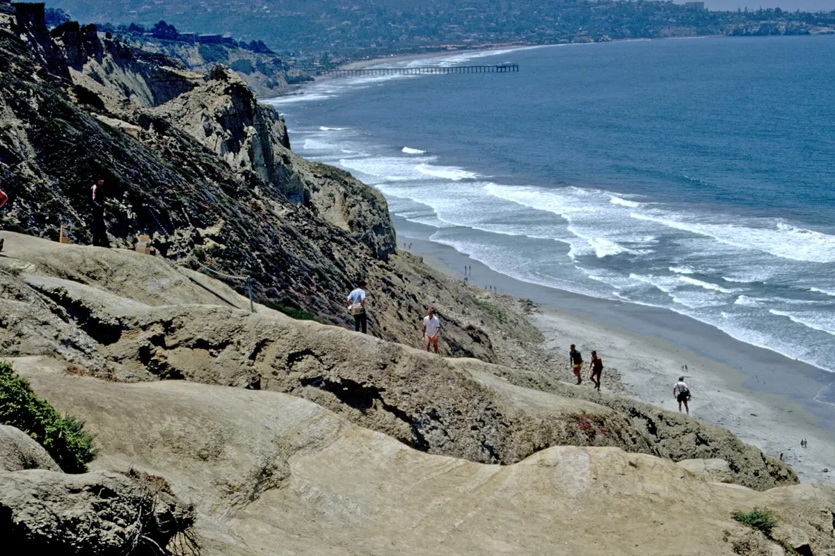
Beach Trails: Unique San Diego Coastal Hikes
Choose a beach trail for the experience you want: sand underfoot, a paved oceanfront stroll, or a bluff-top hike with room to watch the waves.
Open the guide →