Searching for trestle beach California? The place is usually called Trestles Beach, a stretch of the San Onofre coast reached on foot or by an authorized trail rather than by driving onto the sand. It sits near San Clemente at the northern edge of San Diego County. The surf is the headline attraction, but the walk, creek habitat and open coastline make it worthwhile for visitors who never carry a board.
Where is Trestles Beach?
Trestles is part of San Onofre State Beach, not a separate state park called Trestles State Beach. That distinction matters when looking for current conditions, campground reservations and official maps: California State Parks lists the larger park under San Onofre. A San Clemente mailing address does not mean every part of the park is in Orange County. This is the county-line coast, with access closely associated with San Clemente.
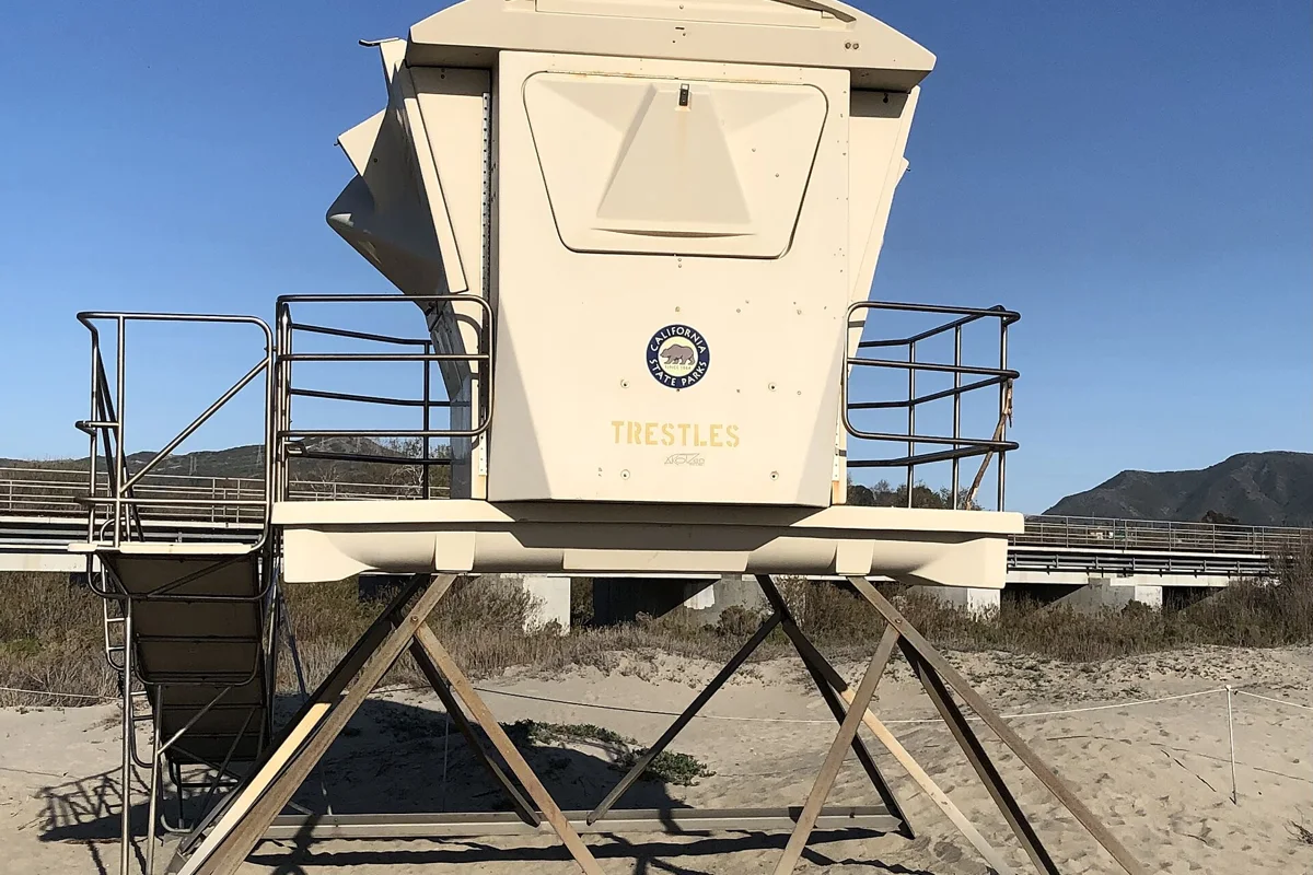
The name refers to the railroad trestles near the shore. You may also encounter names for individual surf breaks, especially Upper and Lower Trestles. A pin for a surf break is not necessarily a parking entrance. Put your chosen trailhead or legal parking area into your navigation app, then use the park map for the final walk. Treat the beach location, trailhead and campground as three different destinations.
Trestles Beach trailhead and how to get there
The Cristianitos Road area is the familiar approach for many day visitors. The World Surf League's visitor directions describe access from Interstate 5 at Cristianitos Road, with a pay lot on South El Camino Real and pedestrian approaches via the Trestles Beach Trailhead or San Clemente Bike Trail. Those directions are useful orientation, but an event guide is not a promise of everyday parking availability or permanent bicycle rules.
Before leaving, compare your route with the current State Parks information and any posted access notices. Stay on the established public approach, obey signs at road crossings and keep the return route in mind. Do not follow a shortcut across habitat because another person has made a faint track. A route that looks direct on a satellite image may cross private land, military property, restoration areas or railroad infrastructure.
Trestles Beach parking: choose the walk first
There is no universal beach-front parking lot that removes the need to walk. For the Cristianitos approach, inspect the signs at the paid lot and along nearby streets. Do not assume that a space beside a trail entrance is legal, that a campground reservation includes a separate day-use lot, or that a fee paid in one section of San Onofre covers every other entrance. Check the official site for current fees.
Build your outing around the distance from the actual parking space, not just the distance shown from the beach trailhead. Carry drinking water and footwear you can walk in comfortably. Keep valuables out of sight before arriving, and leave enough time to return without rushing. If an organized surf competition is underway, consult its transportation instructions; temporary bike restrictions, crowd management and parking arrangements can change the normal approach.
The San Mateo campground nature trail
California State Parks confirms a 1.5-mile nature trail connecting San Mateo Campground with Trestles Beach. That is a separate starting point from the commonly used Cristianitos trailhead. It is especially useful to understand if you are comparing a camping trip with a short day visit. Do not treat 1.5 miles as the distance for every Trestles walk: your mileage depends on where you begin and which part of the beach you visit.
San Mateo Campground is inland at 830 Cristianitos Road. Its setting includes San Mateo Creek, which creates important riparian and wetland habitat on its way toward the ocean. The campground has facilities described on the park's official page, including restrooms and showers, with some water-and-electric hookup sites. Reservations, vehicle rules and current charges should be checked separately. A walk to the beach does not authorize entry into closed creek or marsh areas.
What the trail and beach are like
Think of this as a coastal access walk ending at an active surf beach, rather than a manicured oceanfront promenade. Bring shoes that work on uneven ground and a compact bag that leaves your hands free. Sun protection is useful even when a cool marine layer makes the first part of the walk feel mild. Pack what you need to carry back out; a full picnic setup becomes less appealing on the return journey.
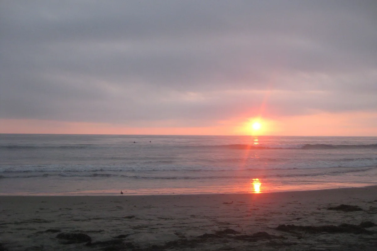
At the shoreline, sand, cobbles and exposed beach width can vary with conditions. Choose a place to sit that does not block the route used by people carrying boards. Watch a few sets of waves before deciding how close to the water to put your bag. There is no need to stand beside the surf entry point to enjoy the view. Spectating from a sensible distance is a good plan when the ocean looks demanding.
Surfing at Trestles is not a beginner promise
Trestles has an international surfing reputation and hosts major competitions, but famous surf is not the same as forgiving surf. Conditions, crowds, the ocean entry and your ability all matter. A visitor guide cannot establish that a particular break will suit you on a particular morning. Ask about local conditions and choose instruction at a suitable location if you are new to surfing.
Non-surfers should not interpret a stream of experienced board riders as evidence that swimming is safe. Check the ocean independently and avoid entering simply to reach a better view. Keep clear of boards in transit and do not leave gear across the access route. If your main goal is an easy swimming day with convenient facilities, compare other San Diego beaches before committing to the Trestles walk.
Railroad and habitat safety
The railway is active infrastructure, not part of the attraction to explore. Use only designated, lawful crossings and signed public routes. Never walk along the tracks, pose on them or wait on a bridge for a photograph. If a route is closed or unclear, turn back rather than inventing an alternative. The fact that a beach is public does not make every possible route to it public.
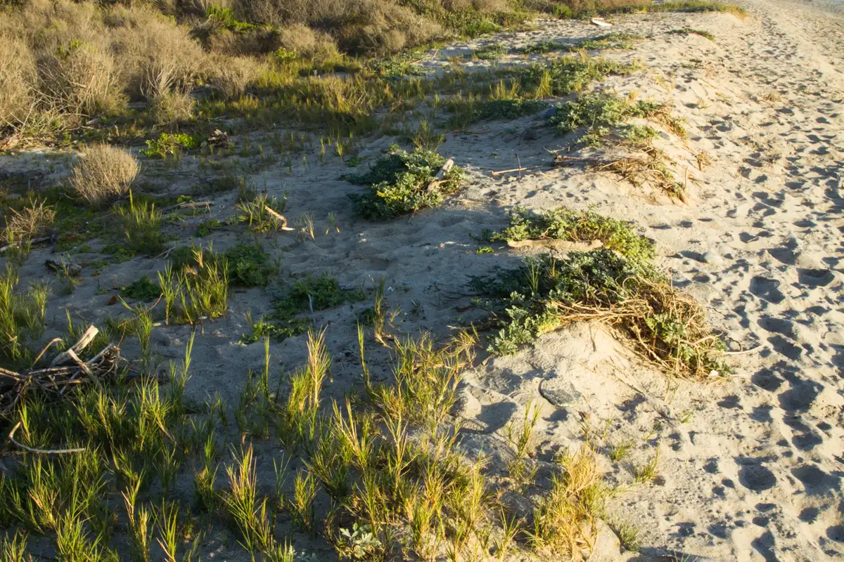
Keep the creek corridor and planted areas undisturbed. San Onofre protects more than surf breaks: its habitats include wetlands, bluffs and inland vegetation. Stay outside restoration fencing, leave plants in place and pack out food scraps. Drones, large gatherings and commercial photography may have rules separate from ordinary walking; do not assume a quiet stretch of coast is unrestricted space.
Check San Onofre notices, not just a saved map
The park has distinct Surf Beach, Bluffs and San Mateo areas. A closure in one area should not be casually applied to all of them, but it also should not be ignored when choosing your route. State Parks posted fire-related restrictions for the Bluffs area in October 2026. Read the current notice before making a plan that combines Trestles with the southern bluff trails.
For a flexible day, choose one main objective: walk to watch surfing, explore an open nature trail or camp inland and make a longer outing. Add a second stop only after confirming access. Our guides to San Onofre plants and spring wildflowers explain why the landscape deserves attention even when the surf is not the point of the trip.
A practical Trestles packing and planning list
Before departure, check the official park alerts, choose a lawful parking area and save the route back to it. Bring water, sun protection, walking shoes, a light layer and a bag for rubbish. Review tide and surf information if you expect to spend time close to the water. Do not set a return schedule that depends on walking along a narrow beach at high tide.
Families should decide in advance how far everyone can comfortably walk and whether the goal is beach play or a viewpoint. Visitors with mobility limitations should ask State Parks about the current surface and access arrangements rather than relying on an event photo. The best Trestles visit is one that fits the actual route and conditions, not one that tries to reproduce a surfer's routine.
By 70 Miles of Coast editors.
Questions before you go
Is Trestles in San Diego or Orange County?
Trestles is on the San Onofre coast at the northern edge of San Diego County, with common visitor access from the San Clemente area. Check the park map rather than relying on a mailing address.
How long is the trail from San Mateo Campground?
California State Parks describes a 1.5-mile nature trail from the campground to Trestles Beach. Other starting points have different distances.
Sources & further reading
Official information and references for this guide. Check the source for current access, rules and conditions.