
The coast, collected
San Diego Coastal Geology: Read the Shoreline
San Diego coastal geology becomes easier to appreciate when you look at the shore as a landscape still changing, rather than a fixed backdrop. Bluffs, beaches, rock shelves and lagoon edges tell different stories. You do not need to name every layer to notice a difference in color, texture or the way water moves around a point.
These guides offer place-based ways to look more closely, with references for learning beyond the walk. The aim is observation, not collecting samples or treating a cliff face as a climbing wall. Follow designated routes and official advice. A striking formation can be unstable, and there is no photograph worth standing directly below a hazardous bluff or stepping beyond an access barrier.
Use tides and conditions as planning context, while remembering that a low tide does not make every shore route safe. Choose a place with an easy return and be ready to look from farther away. Take notes or photographs instead of pieces of the landscape. The useful question is not only what a feature is called, but how the coast around it is shaped and how a visitor can experience it responsibly.
The field notes
2 guides · newest updates first
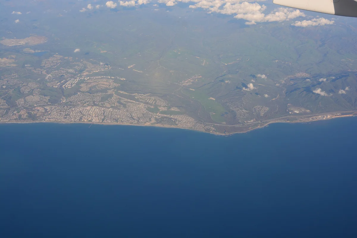
Cristianitos Fault, San Diego Coast: A Geology Guide
Understand the fault through California’s official geology guide without treating an exposed cliff as a climbing destination.
Open the guide →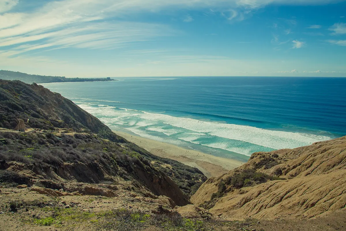
Torrey Pines Landslide: Black's Beach Cliff Collapse History
Understand the documented 2023 Black's Beach landslide, why coastal cliffs can fail and how official safety guidance applies to visitors.
Open the guide →