The San Diego La Jolla ecological reserve is a familiar search phrase for protected coastal water around La Jolla Cove, the Shores and the Scripps area. For current regulations, however, use the specific state marine protected area names: Matlahuayl State Marine Reserve and the neighboring San Diego-Scripps Coastal State Marine Conservation Area. They have different boundaries and different take rules.
Do not use a general “underwater park” label as a substitute for the official map. It may help describe the broader visitor setting, but fishing, collecting and anchoring decisions depend on the actual designated area. A beach name alone may not tell you which rule applies offshore.
Matlahuayl State Marine Reserve
CDFW identifies Matlahuayl as a state marine reserve along this La Jolla coast. Taking living marine resources is prohibited. That makes the visitor approach straightforward: observe fish, plants and invertebrates where they are, without collecting or fishing.
The reserve name honors Native American heritage. Use CDFW's current page and maps for its precise extent rather than drawing an approximate boundary from a tourist description. The legal area is defined geographically, not by where the water looks especially clear or where snorkelers happen to gather.
San Diego-Scripps Coastal State Marine Conservation Area
The adjacent conservation area protects a different mapped portion of the coast. CDFW describes habitat including submarine canyon features, sandy areas and marine life supported by the local ocean environment. Its history includes protection of the Scripps coastal area long before the current statewide marine protected area network.
This area's rules include a narrow exception to the prohibition on take: recreational hook-and-line take of specified coastal pelagic species, excluding market squid. Do not turn that exception into a general claim that fishing or collecting is allowed. Check the exact current regulation, species and boundary with CDFW before acting.
How to find the right boundary
Start with the CDFW page for the two protected areas. Save the map and regulation information together. A map without the rule or a rule without the location is only half of the planning task.
California State Parks also provides a regional marine protected area overview. That is useful for seeing how this coast relates to other nearby protections. If a route crosses a boundary, the permitted activity may change even though there is no fence in the water.
Visiting without taking anything
Low-impact shore viewing, swimming, snorkeling and diving can provide ways to appreciate protected water, subject to local access and safety rules. A conservation designation does not guarantee benign conditions or establish that every launch or activity is allowed from every beach.
Leave plants, shells with living occupants and animals where they are. Do not feed fish or disturb resting marine mammals. Use distance and patience rather than trying to make wildlife interact. The attraction is a functioning habitat, not a collection of objects for visitors to handle.
Snorkeling and diving: conditions come first
Check surf, visibility expectations, water quality and lifeguard guidance before entering. A popular snorkeling location can still be unsuitable on the day. Do not assume protected habitat means protected swimming conditions; “reserve” refers to conservation rules, not a promise of calm water.
Use an appropriate entry and exit for your ability, go with a suitable plan and do not let a desire to see a particular species push you farther than intended. If you are inexperienced, seek legitimate instruction rather than treating an online description as a substitute for water skills.
A shore-based visit is worthwhile too
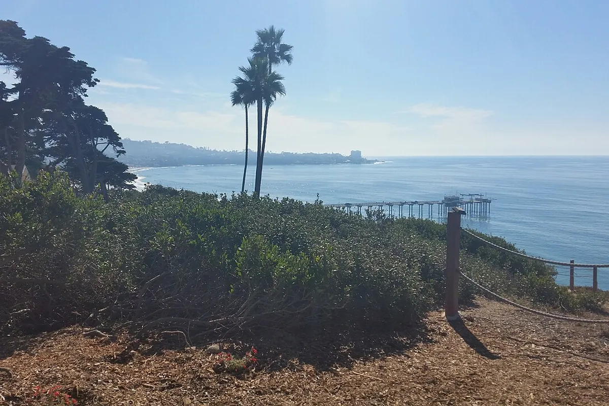
You do not have to enter the ocean to understand this coast. Public viewpoints and permitted shoreline areas can reveal the relationship between cliffs, coves and open water. Bring binoculars and stay on established routes rather than descending an informal path to get closer.
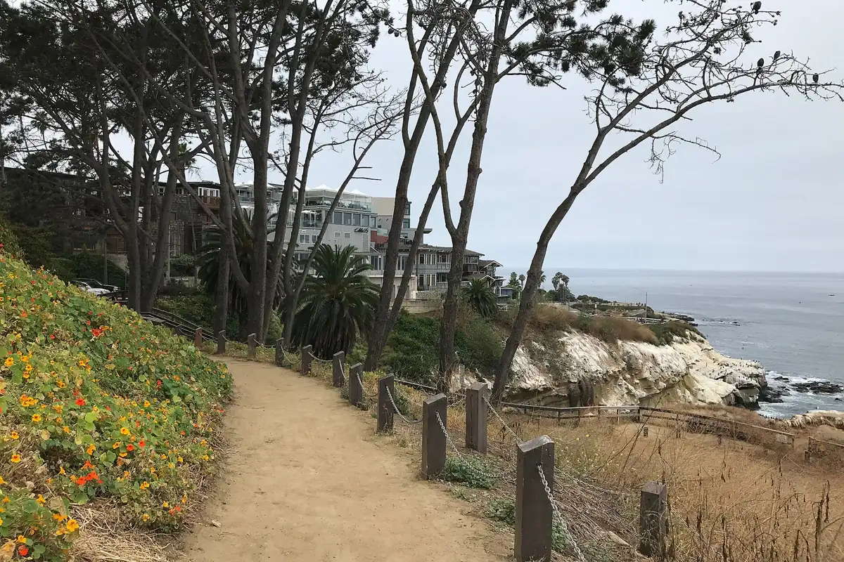
The nearby Coast Walk Trail is a separate bluff-top outing with its own access and footing concerns. It is not a route down into the reserve. Choose it for the walk and views, then use established beach access for any separate shore visit.
Common misconceptions to avoid
- “It's all one reserve.” Adjacent designations have distinct boundaries and regulations.
- “A tiny animal is fine to take.” Size does not override a prohibition on take.
- “Clear water means safe water.” Use official water-quality information.
- “Snorkelers prove conditions are easy.” Check your own ability and current lifeguard advice.
Use coastal resources for the safety checks and the tide-pool guide for careful shoreline observation. Good planning keeps the protected area's legal purpose and the visitor's safety in view at the same time.
Sources & further reading
Official information and references for this guide. Check the source for current access, rules and conditions.