The Panhe Nature Trail is associated with the San Mateo area of San Onofre State Beach, near the San Diego–Orange County line. It is a place to pay attention to the creek landscape and the area's Indigenous history, not just a way to accumulate beach mileage. Before visiting, distinguish the short interpretive trail references from the longer route between San Mateo Campground and Trestles Beach. Different online descriptions can use overlapping names for walks with different starting points.
The map pin identifies a mapped point on the Panhe trail, not a confirmed parking entrance. Follow State Parks directions to the appropriate visitor access.
Start with San Mateo Campground information
California State Parks lists San Mateo Campground at 830 Cristianitos in the San Clemente area. Its San Onofre State Beach page describes a 1.5-mile nature trail connecting the campground to Trestles Beach. That distance refers to the connection identified by State Parks, not a verified measurement of every route labeled Panhe on a hiking app.
Ask for the current interpretive route or consult an official map before walking. Make sure you know whether the distance you are considering is one-way or round-trip. A short nature walk and a beach excursion require different amounts of water, daylight and energy. Do not assume that a line on a crowd-sourced map is an open public access route.
Panhe is a cultural landscape
Panhe is associated with Acjachemen history and continuing cultural connections. Approach the name as more than a trail label. Read interpretation where it is provided, and seek cultural information from Acjachemen voices and State Parks rather than inventing stories about plant use or ceremonial practices. A visitor guide should not claim to speak for the community.
Respect any culturally sensitive areas and closure signs. Do not collect objects, disturb soil or treat an archaeological feature as a prop for a photograph. The absence of a fence does not make a place available for exploration. If you encounter an object that may be culturally significant, leave it where it is and notify park staff rather than moving it to show someone.
San Mateo Creek and the habitat connection
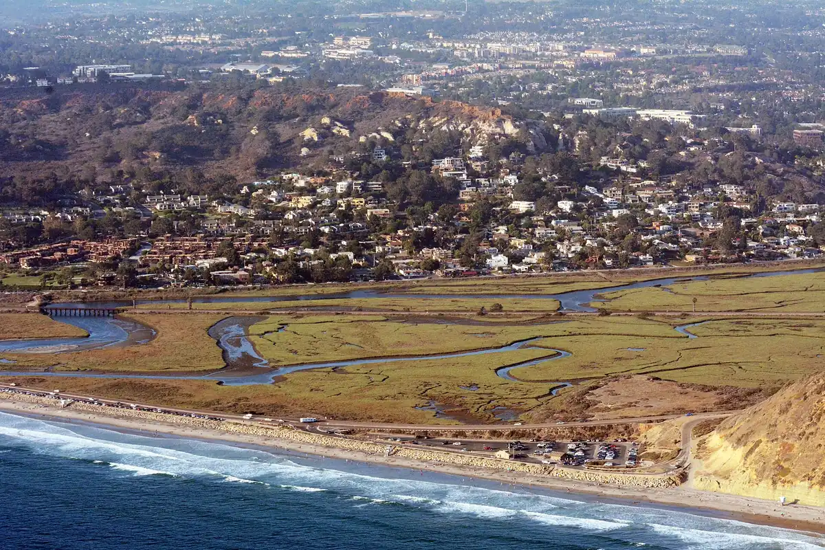
State Parks describes San Mateo Creek flowing east of the campground toward the ocean and supporting riparian and wetland habitat. That relationship is the most useful landscape feature to understand before the walk. A creek corridor can support vegetation and wildlife different from the drier surrounding slopes, even when the water is not obvious from the path.
Look for changes in plant density, shade and bird activity without leaving the designated route. Do not enter the creek bed to find a better angle. Water levels, mud and habitat restrictions may make an apparently easy crossing inappropriate. A trail beside a sensitive area is access to observe it, not permission to travel through its interior.
Separate the nature walk from Trestles access
Trestles is a well-known surfing destination, but not every visitor to the Panhe area needs to continue to the beach. Decide on your turnaround before setting out. If you do continue, plan the full return distance and account for the extra effort of sand or slopes rather than considering the walk complete on reaching the ocean.
Follow designated crossings and all railway warnings. Never use tracks as a walking route or stop on them for photographs. Be aware of other trail users carrying surfboards or moving at a different pace. Keep narrow portions open and choose a safe, durable place to pause. A busy access route is not the place for a group to spread across the path.
Fees, parking and dogs: check the exact area
San Onofre has distinct recreation areas with different facilities and access arrangements. Use the official park page to check current day-use fees, entry arrangements and restrictions for San Mateo specifically. An account of the Surf Beach or the Bluffs campground does not establish the rule for the route you intend to use.
This guide does not assume dogs are allowed on the nature trail or that campground facilities are available to every day visitor. Confirm pet and facility rules before arriving. If you need a step-free surface or a particular restroom arrangement, ask about that exact route. A trail's short distance does not establish its accessibility.
A worthwhile, low-impact visit
Bring water, sun protection and shoes appropriate for current ground conditions. Use posted interpretation as a reason to slow down rather than racing toward the coast. Photographs of the broader valley and vegetation can tell the story without entering restricted ground. Pack out everything you bring.
For geography and planning, keep this trip in the outside San Diego section, even though the wider San Onofre landscape straddles familiar county-line travel routes. For another wetland-focused outing closer to central San Diego, compare Los Peñasquitos Lagoon, where protected habitat also requires careful attention to permitted access.
Sources & further reading
Official information and references for this guide. Check the source for current access, rules and conditions.