Marine protected areas San Diego visitors encounter include coastal reserves, conservation areas and protected wetlands with different rules. A marine protected area, or MPA, is not simply a scenic label. Before fishing, collecting or entering water, identify the exact location and read its current California Department of Fish and Wildlife regulation.
Reserve and conservation area are not interchangeable
CDFW's San Diego pages distinguish state marine reserves from state marine conservation areas. Reserves such as Matlahuayl prohibit take of marine resources. Some conservation areas have tightly defined exceptions, while others are explicitly no-take. Do not infer permission from the word conservation or assume every protected area has identical restrictions.
Activities can be regulated beyond fishing. A rule may address injury or possession of living, geological and cultural resources, and particular wetland areas can prohibit swimming or wading. Read the full location-specific entry. A general recreational fishing license does not authorize activity prohibited by an MPA.
Matlahuayl and San Diego-Scripps Coastal
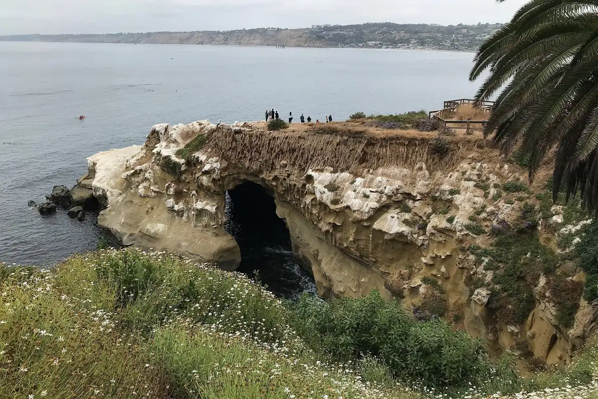
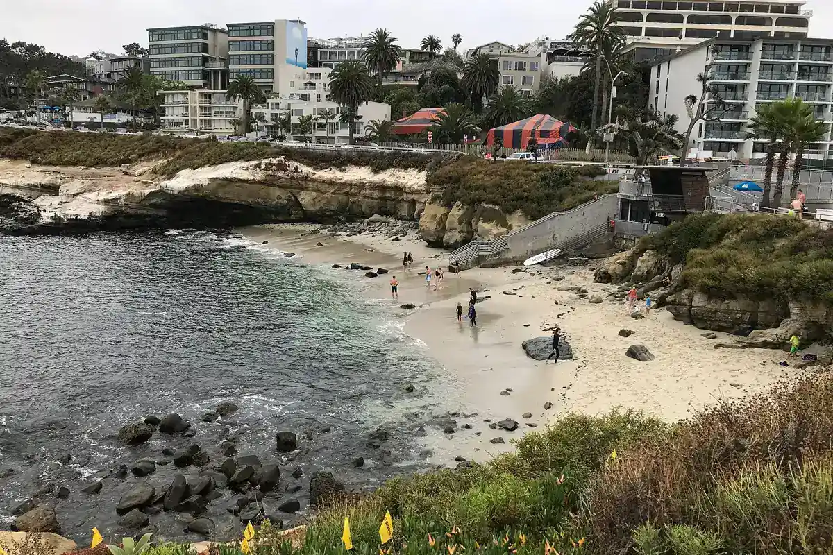
Matlahuayl State Marine Reserve and the adjacent San Diego-Scripps Coastal State Marine Conservation Area lie off La Jolla. CDFW describes protected sandy beaches, rocky intertidal habitat, reefs, sea caves and submarine canyon environments. These are connected ecosystems, even though visitors may know them by a single popular beach name.
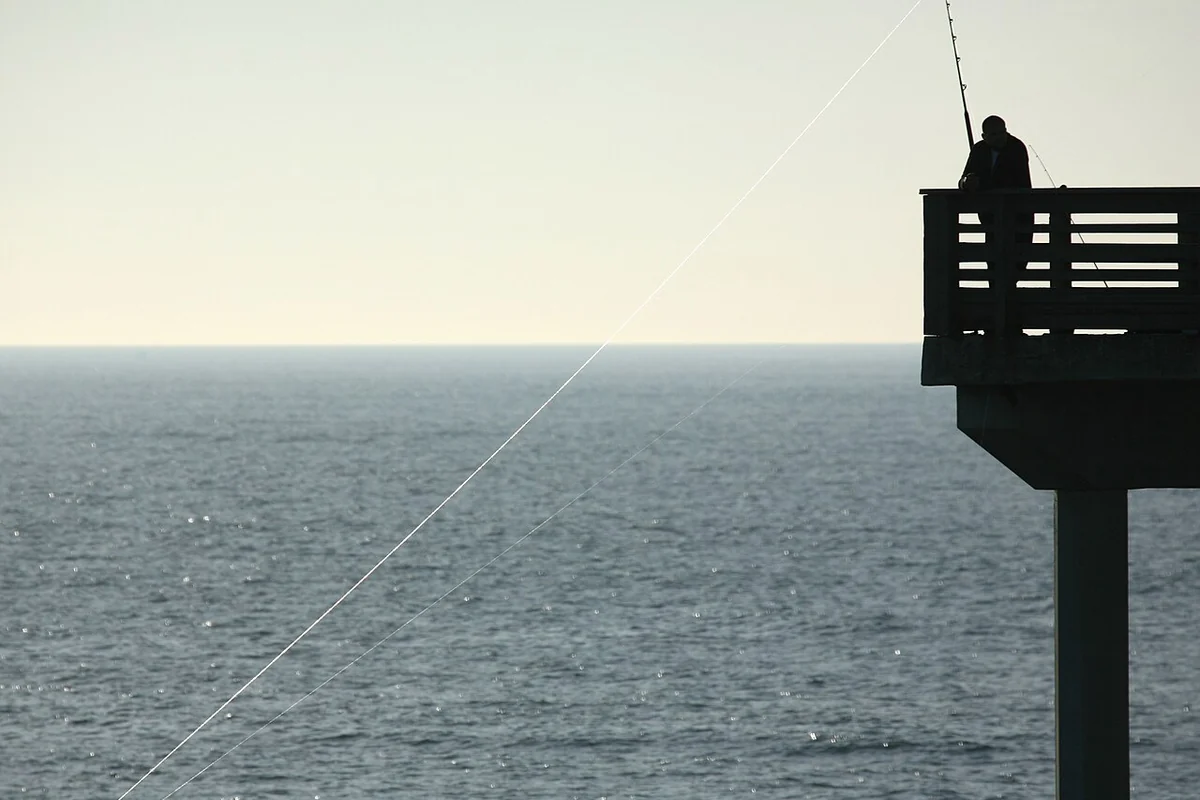
Matlahuayl prohibits take. The neighboring conservation area allows limited recreational hook-and-line take of specified coastal pelagic species, excluding market squid, under its current regulation. That is not a general permission to catch anything from shore. Use the official entry and maps before making a fishing decision.
South La Jolla's two protected areas
South La Jolla State Marine Reserve adjoins an offshore State Marine Conservation Area. CDFW describes kelp forest, rocky reef and sandy habitats, with the reserve extending from shore and the conservation area farther offshore. The legal boundary is not something to estimate from a place name or the color of the water.
The reserve prohibits take, while the conservation area has specified hook-and-line exceptions for listed pelagic finfish. Consult the current South La Jolla page for the exact rule. Do not transfer the exception from another La Jolla MPA or assume that a kayak automatically puts you beyond a boundary.
Swami's and San Elijo Lagoon
CDFW identifies Swami's State Marine Conservation Area offshore of Encinitas and the neighboring San Elijo Lagoon State Marine Conservation Area as distinct protected areas. Swami's has its own limited exceptions; the lagoon area is no-take. These are not the same regulations applied to different sides of one road.
The lagoon's rules also prohibit boating, swimming and wading. A visitor heading to San Elijo Lagoon Nature Center should plan to enjoy the habitat from permitted trails rather than entering the water. Check the official paired MPA page for the map and full regulation.
Famosa Slough and other wetland protection
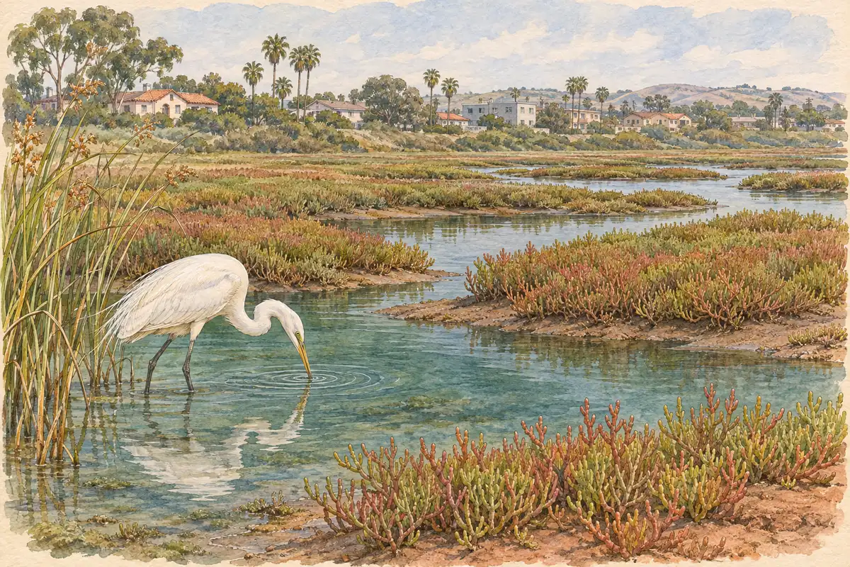
Famosa Slough State Marine Conservation Area is no-take, even though it lies in an urban setting rather than beside an obvious open-ocean reef. Protected habitat can occur among streets and neighborhoods. The setting does not reduce the importance of leaving fish, invertebrates and natural materials in place.
Enjoy Famosa Slough through quiet observation from established paths. Elsewhere in the county, additional marine and wetland designations apply. This page is a starting guide to selected areas, not a complete legal inventory of the entire coast.
How to check a boundary
Start with CDFW's official MPA map and location entry. Find your actual access point and intended activity, then compare them with the boundary and regulation. A search result for a broad beach name can combine multiple jurisdictions and protected zones.
Do not use a hand-drawn travel map, social post or this page's general description as a substitute for the official boundary. If uncertain, contact CDFW before fishing or collecting. Waiting for clarification is better than assuming that an activity is permitted because there is no sign directly beside your towel.
Responsible visits without taking anything
MPAs offer opportunities for wildlife observation, tidepooling and, where permitted and suitable, water activities. Protection does not guarantee calm water, clear visibility or an open trail. Check ocean conditions and local access rules separately from the MPA regulation.
Leave animals, shells and rocks where they are, avoid trampling living surfaces and give marine mammals and shorebirds plenty of room. Our shore fishing guide covers licenses and access, while the La Jolla caves guide explains why ocean access requires a different decision from a land-based visit.
By 70 Miles of Coast editors.
Sources & further reading
Official information and references for this guide. Check the source for current access, rules and conditions.
- Matlahuayl State Marine Reserve, and San Diego-Scripps Coastal State Marine Conservation Area
- South La Jolla State Marine Reserve/State Marine Conservation Area
- MPA Outreach Materials
- Current California Ocean Recreational Fishing Regulations - Southern Region
- California Marine Protected Areas (MPAs)
- CDFW: Swami's and San Elijo Lagoon MPAs
- CDFW: Famosa Slough no-take conservation area