The Chula Vista boat launching ramp is one of the Port of San Diego's four public San Diego Bay launch facilities. It serves the South Bay near the J Street marina area, with trailer parking and nearby park amenities. Other useful launch choices include National City, Shelter Island and Glorietta Bay on San Diego Bay, plus Dana Landing and South Shores on Mission Bay. Choose the water body first; these are not all entrances to the same protected basin.
A ramp listing establishes location, not today's operational status. Before towing, check the operator's notices, your intended parking arrangement, the weather and a current navigation chart. Do not assume an attractive bayfront redevelopment includes the same entrance or circulation shown on an old map.
Chula Vista boat launch
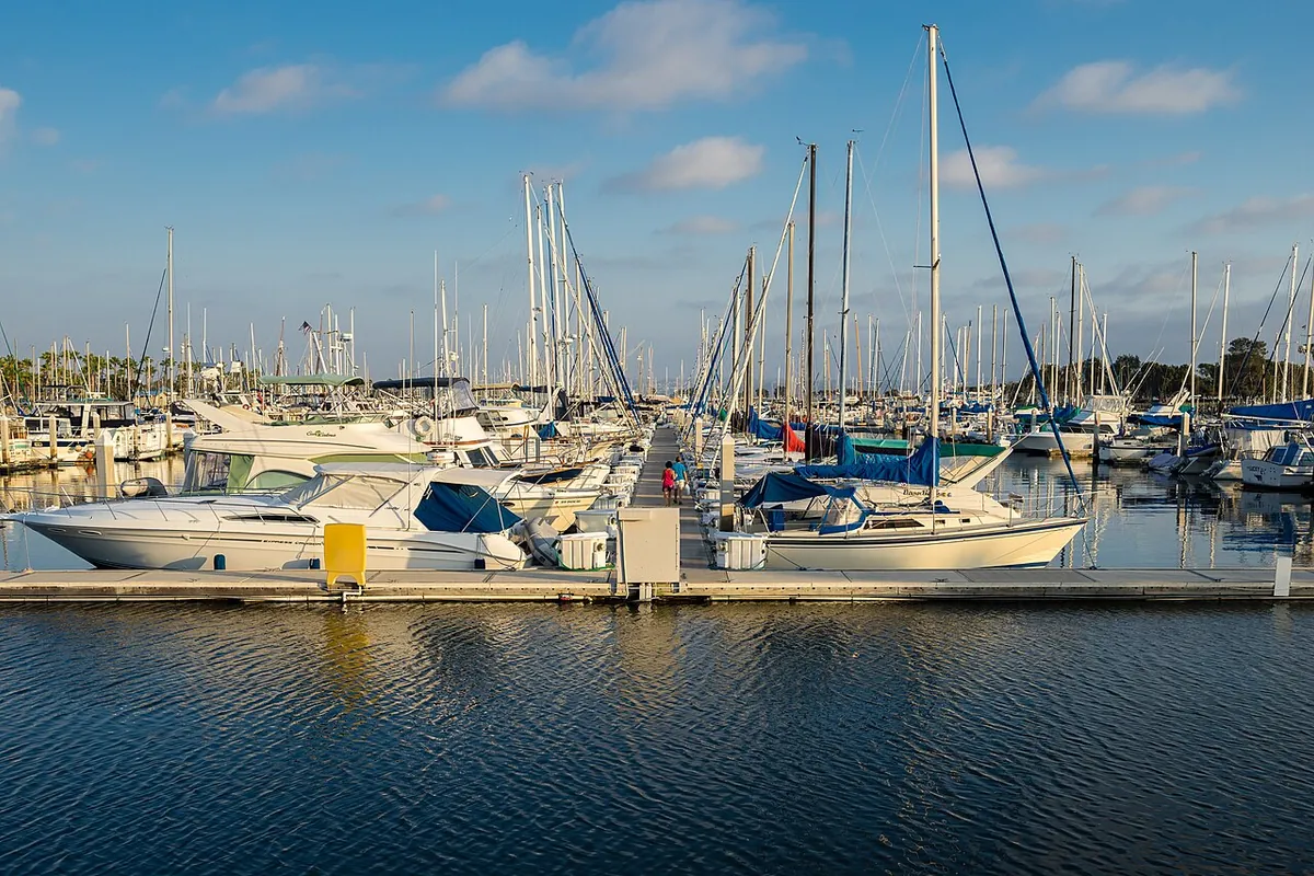
The Port places the Chula Vista ramp in the J Street marina and Chula Vista Bayfront Park area. Its listing describes a large parking area for vehicles with trailers, picnic facilities and restrooms. Use the official Chula Vista launch page to confirm the destination before departure.
The Port specifically warns of extremely shallow shoal areas nearby and tells boaters to consult a current chart. That warning matters more than a generic description of “calm bay water.” Water depth, tide and the marked route to navigable water need to match your vessel. Do not follow another boat as a substitute for understanding the channel.
National City: Pepper Park
The National City ramp is adjacent to Pepper Park and accesses the bay through Sweetwater Channel. The Port identifies restrooms, picnic facilities and a fishing pier at the property. This can be a useful South Bay alternative, but it is still a channel-navigation outing rather than an open-water launch directly onto the coast.
Check current park and construction notices before choosing it. Keep the trailer staging area and launch lanes clear, and distinguish spaces designated for vehicle-and-trailer combinations from general park parking. A spot suitable for a picnic visitor may not be suitable for an attached trailer.
Shelter Island boat launch
The Port describes Shelter Island as the San Diego Bay ramp closest to the Pacific Ocean, with a several-acre facility, restrooms and a large parking area. This is a logical location to investigate when your plan involves the outer bay or ocean, but proximity does not reduce the need to check swell, wind, traffic and vessel capability.
The route passes through an active harbor. Plan for other recreational boats, commercial operations and larger vessels. A good ramp choice also includes a recovery plan: know where you will wait, how you will retrieve the trailer and what you will do if wind builds before you return.
Glorietta Bay launch ramp
Glorietta Bay's ramp is managed by the City of Coronado rather than the Port. The Port's overview describes the protected basin and warns about shallow areas immediately outside it. It also identifies a slow-speed route between the ramp and the main bay channel.
Confirm the current local rules with Coronado and read posted signs at the ramp. A sheltered launch basin does not mean the rest of the day's route will have the same conditions. Plan the outward and return passage separately, especially if your group includes inexperienced passengers.
Mission Bay boat launches: Dana Landing and South Shores
Dana Landing and South Shores are Mission Bay options, not San Diego Bay ramps. The City lists Dana Landing at 2590 Ingraham Street and South Shores at 404 Sea World Drive; its boating guidance notes that South Shores launch hours may be restricted. Use the City's Mission Bay Park information and current park maps to locate launch facilities and distinguish them from beach access, marina businesses and general parking lots.
Searches for “Mission Beach boat launch” can be misleading because the ocean beach and Mission Bay are different environments. Identify the named ramp you intend to use rather than navigating to Mission Beach and looking for a place to launch. Consult current local boating-zone and speed-rule information before getting underway.
Fees, parking and launch etiquette
The Port's ramp overview provides the authoritative starting point for its bay facilities, but parking rules and restrictions must be checked separately. Do not treat launch access as permission for overnight storage or extended trailer parking. Confirm current fees and any payment requirements with the actual operator.
Prepare away from the ramp: remove tie-downs as appropriate, organize safety equipment and passengers, and get the vessel ready before occupying a lane. After retrieval, move to a suitable staging space before securing everything for the drive. Never let children stand behind a reversing tow vehicle.
Before you tow
- Confirm the exact facility, managing agency and current access notices.
- Check the chart, tide, weather and restrictions for your intended route.
- Verify trailer parking and the time available for recovery.
- Inspect safety equipment and make a clear passenger plan.
- Choose a backup that works for the same vessel and conditions.
Our coastal resources help with tide and weather checks. If you would rather fish from land, compare the San Diego fishing piers guide; a public fishing pier and a boat-launch boarding dock are not interchangeable places to set up gear.
Sources & further reading
Official information and references for this guide. Check the source for current access, rules and conditions.