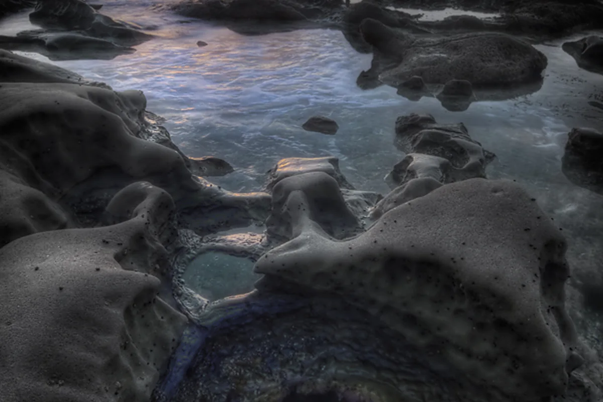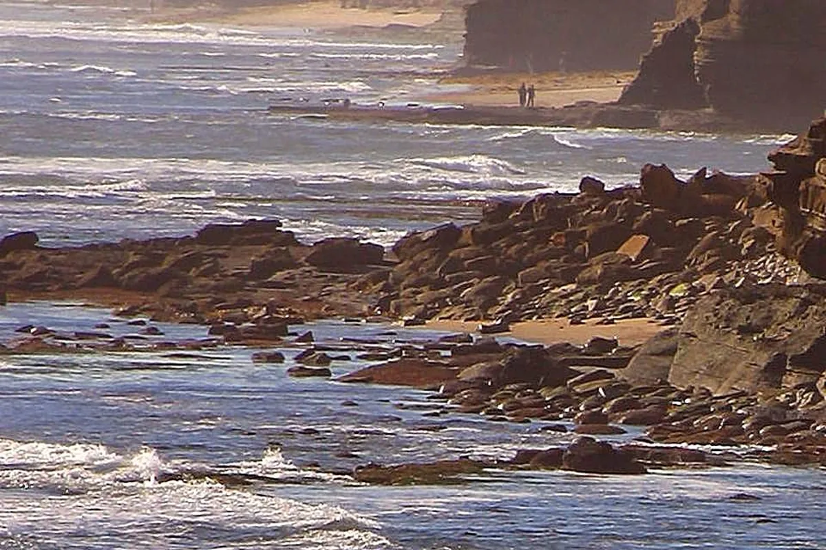
Sunset Cliffs Natural Park reviews often focus on the ocean view, but the practical details are what shape a good visit: where you will walk, how close you will get to unstable edges and whether you have enough daylight to return comfortably. This guide is an editorial planning resource, not a collection of visitor ratings or a claim that our editors personally tested every path.
The City of San Diego describes a 68-acre coastal park along the western edge of Point Loma. Its bluffs, arches and sea caves are part of the appeal, but they are also reasons to stay on established routes. A dramatic feature visible below the path is not necessarily a safe or legal destination to approach.
Where Sunset Cliffs Natural Park begins
The city divides the park into an 18-acre linear section west of Sunset Cliffs Boulevard between Adair and Ladera streets and a 50-acre hillside section farther south. That distinction helps explain why a map pin can land you in a different kind of setting from the one you expected. Choose a specific starting point rather than navigating only to the park's general name.
The park lies south of Ocean Beach along the Point Loma coast. Searches for “Ocean Beach cliffs” may lead here, but the bluff park is not the same place as Ocean Beach's main sandy beach. If your plan includes both, allow for a separate arrival and parking decision instead of assuming the shoreline provides a continuous easy route.
Plan a Sunset Cliffs walk, not a cliff scramble
A simple out-and-back on open established paths is a good first approach. Choose a turnaround point that suits the group and leave time to return before visibility drops. You do not need to cover the entire park to enjoy its coastal setting, and there is no benefit in forcing a longer route when footing or weather is uncomfortable.
Stay well back from cliff edges and avoid undercut ledges. Do not follow informal tracks down a bluff or approach a cave because other people are already there. Erosion, wet surfaces and changing surf can turn a short-looking descent into a serious problem. Keep children close and put the photograph second to stable footing.
Where to find a Sunset Cliffs trail map
Use the map linked from the official city park page. The city also publishes a hillside-improvements project map, but it explicitly notes that planning graphics may differ from completed trails. That is why a downloaded construction diagram should not override current signs or a closed path on the ground.
Keep navigation simple. Save the official information before arriving, identify the starting point and follow marked open routes. A thin line on a third-party map may be an informal erosion track rather than an approved trail. If a route is unclear, return to the established path instead of using the cliff edge as a shortcut.
Parking, facilities and accessibility
The city lists street parking and several small lots around the park. Read the actual signs before leaving the car, keep driveways and emergency access clear and expect the sunset period to attract other visitors. A flexible arrival plan is more useful than assuming the space beside one viewpoint will be available.
The city's park page says there are no restrooms available, so plan accordingly before a longer visit. Do not infer full accessibility from a photograph of a broad path. The hillside project includes accessibility improvements, but current route surfaces and connections need to be checked for your specific requirements. Contact the city if a step-free route is essential.
Sunset timing and photography
Arrive with enough daylight to inspect the route and choose a stable viewpoint. Clouds, haze and wind can change the photographic result, so do not make a safe return dependent on waiting for a perfect final color. Bring a layer and a small light for packing up, while remembering that a light is not a reason to explore unknown cliff paths after dark.
Use a composition that works from the established path. Keep tripods and bags from blocking other walkers, and never step backward toward the edge while looking through a phone. If a viewpoint feels crowded, move to another open spot rather than leaning over or standing on an unstable shelf.
Plants, wildlife and the wider coast
The city identifies the hillside as a conservation area and describes restoration work using native plants. Stay out of planted zones even if they appear sparse or dry. Coastal vegetation may look subdued during dry periods while still stabilizing soil and supporting habitat. Our native-plants guide offers a starting point for recognizing the landscape.
For a more structured marine-life outing, compare the documented locations in our tide-pool guide rather than treating every cliff-bottom shelf as accessible. Sunset Cliffs is rewarding as a bluff-top park in its own right. A good visit does not require a descent, a cave or a photograph from the outermost edge.
Sources & further reading
Official information and references for this guide. Check the source for current access, rules and conditions.